29 Green St, Middletown — property record card
4 Family built in 1900, 7 bed, 4 bath, 2,476 ft² in Middletown, appraised at $255,780 (assessed $179,040); last sold for $300,000 on January 6, 2022.
Parcel
| Location | 29 Green St, Middletown CT 06457 |
|---|---|
| Parcel ID | R03558 |
| CAMA account | 47360-4930 |
| Use | 4 Family |
| Zone | B-1 |
| Planning region | Lower Connecticut River Valley |
Valuation — revaluation 2022
| Appraised (market value) | $255,780 |
|---|---|
| Assessed (70%) | $179,040 |
Building
| Year built | 1900 |
|---|---|
| Living area | 2,476 ft² |
| Rooms | 15 |
| Bedrooms | 7 |
| Bathrooms | 4 full |
| Condition | average |
| Units | 4 |
Sales
| Last sale | $300,000 — January 6, 2022 |
|---|
Brownfield inventory
- Middletown (ferry Street/green Street Revitalization Area), Ferry Street/ Green Street — program: NONE
Within about 500 m (a third of a mile): 40 sites of the state brownfield inventory. Brownfields in Middletown.
What this means
- Connecticut taxes property at 70% of its appraised market value: the assessment $179,040 times the town mill rate gives the yearly tax.
- Middletown last revalued in 2022. Towns revalue every five years; between two revaluations the appraisal stays the same even if the market moves.
- Assessed 27% below the median for this use in Middletown ($245,525, 60 parcels).
- Built before 1978: lead paint may be present; Connecticut law requires disclosure to a buyer or tenant.
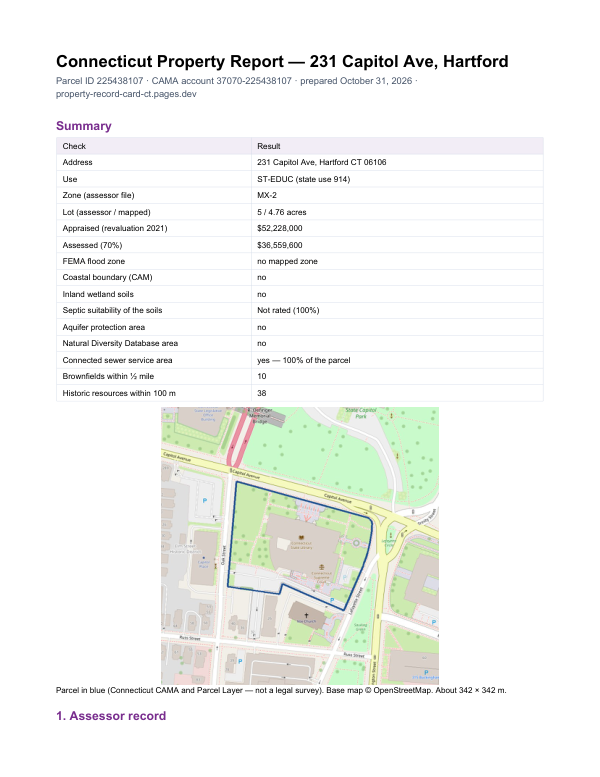
The report for 29 Green St
This card shows what the assessor records. The report adds what lies around the parcel: FEMA flood zone, wetlands and watercourses, aquifer protection area, Natural Diversity Database areas, brownfields nearby and sewer service.
$19card · PDF within 24 h · you pay after receiving itSee the sample (PDF)