Parcel , East Hartford — property record card
Parcel in East Hartford.
Parcel
| Location | , East Hartford CT 06118 |
|---|---|
| Planning region | Capitol |
Brownfield inventory
- Riverside Drive Roadway, Riverside Drive — program: NONE
Within about 500 m (a third of a mile): 7 sites of the state brownfield inventory. Brownfields in East Hartford.
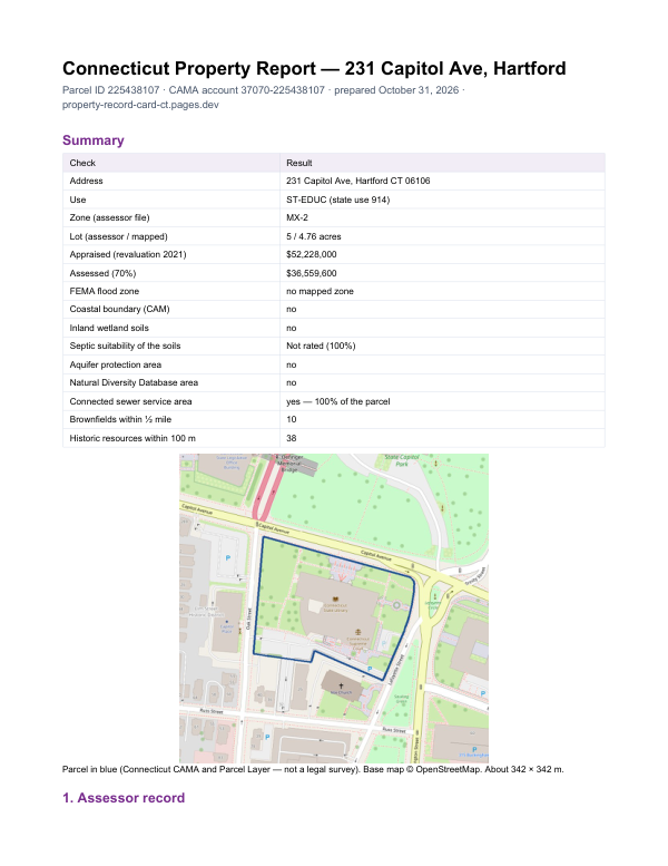
The report for this parcel
This card shows what the assessor records. The report adds what lies around the parcel: FEMA flood zone, wetlands and watercourses, aquifer protection area, Natural Diversity Database areas, brownfields nearby and sewer service.
$19card · PDF within 24 h · you pay after receiving itSee the sample (PDF)