205 Elm St, West Haven — property record card
APARTMENTS MDL built in 1960, 9,866 ft² in West Haven, appraised at $1,252,800 (assessed $876,960); last sold for $1,745,000 on July 17, 2025.
Parcel
| Location | 205 Elm St, West Haven CT 06516 |
|---|---|
| Parcel ID | 043-0237-0-0000 |
| CAMA account | 82870-10842 |
| Use | APARTMENTS MDL |
| Zone | R4 |
| Planning region | South Central Connecticut |
Valuation — revaluation 2024
| Appraised (market value) | $1,252,800 |
|---|---|
| Assessed (70%) | $876,960 |
Building
| Year built | 1960 |
|---|---|
| Living area | 9,866 ft² |
| Condition | good |
| Units | 13 |
Sales
| Last sale | $1,745,000 — July 17, 2025 |
|---|
Within about 500 m (a third of a mile): 1 site of the state brownfield inventory. Brownfields in West Haven.
What this means
- Connecticut taxes property at 70% of its appraised market value: the assessment $876,960 times the town mill rate gives the yearly tax.
- West Haven last revalued in 2024. Towns revalue every five years; between two revaluations the appraisal stays the same even if the market moves.
- Assessed 52% below the median for this use in West Haven ($1,823,535, 100 parcels).
- The last sale price is 39% above the appraisal.
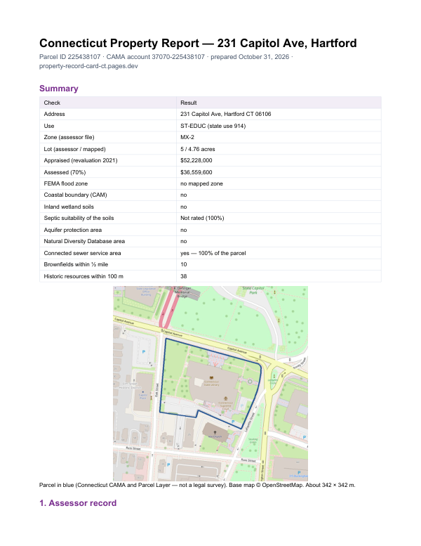
The report for 205 Elm St
This card shows what the assessor records. The report adds what lies around the parcel: FEMA flood zone, wetlands and watercourses, aquifer protection area, Natural Diversity Database areas, brownfields nearby and sewer service.
$19card · PDF within 24 h · you pay after receiving itSee the sample (PDF)