324 Mill St, Waterbury — property record card
Vacant Land in Waterbury, appraised at $10,300 (assessed $7,210).
Parcel
| Location | 324 Mill St, Waterbury CT 67021915 |
|---|---|
| Parcel ID | 80070-034502910041 |
| Use | Vacant Land |
| Zone | RH |
| Planning region | Naugatuck Valley |
Valuation — revaluation 2025
| Appraised (market value) | $10,300 |
|---|---|
| Assessed (70%) | $7,210 |
Building
| Condition | 0 |
|---|
Brownfield inventory
- 324 Mill Street, 324 Mill Street — program: NONE
Within about 500 m (a third of a mile): 8 sites of the state brownfield inventory. Brownfields in Waterbury.
What this means
- Connecticut taxes property at 70% of its appraised market value: the assessment $7,210 times the town mill rate gives the yearly tax.
- Waterbury last revalued in 2025. Towns revalue every five years; between two revaluations the appraisal stays the same even if the market moves.
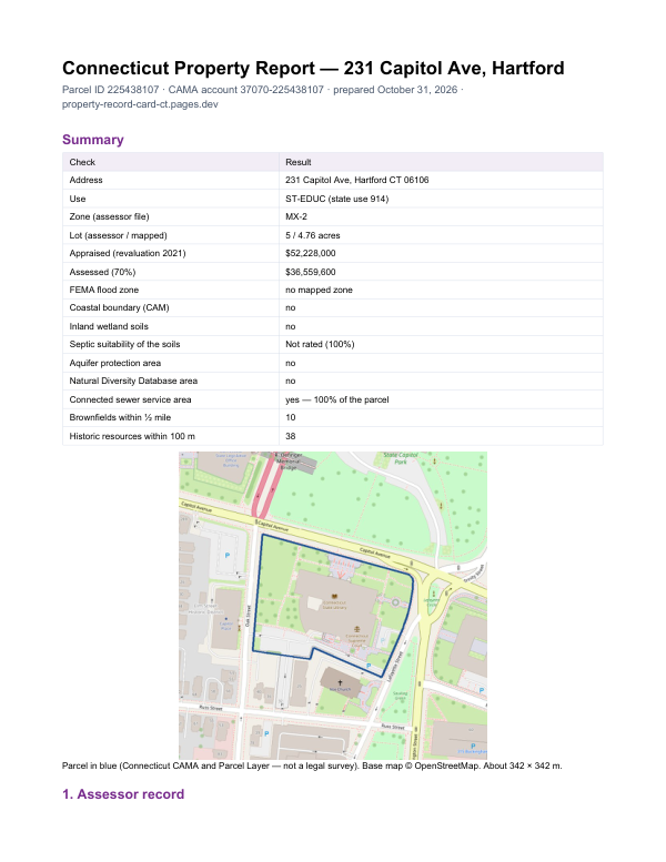
The report for 324 Mill St
This card shows what the assessor records. The report adds what lies around the parcel: FEMA flood zone, wetlands and watercourses, aquifer protection area, Natural Diversity Database areas, brownfields nearby and sewer service.
$19card · PDF within 24 h · you pay after receiving itSee the sample (PDF)