1 Sylvan Rd, New Fairfield — property record card
Single Family built in 1966, 3 bed, 1.5 bath, 1,438 ft² in New Fairfield, appraised at $549,400 (assessed $384,600); last sold for $458,000 on December 30, 2025.
Rebuilt from the public Connecticut CAMA and Parcel Layer — not the official card. For the official card, with owner, photo and sketch, ask the New Fairfield assessor’s office.
Parcel
| Location | 1 Sylvan Rd, New Fairfield CT 06812 |
|---|
| Parcel ID | 575900 |
|---|
| CAMA account | 50860-5790 |
|---|
| Use | Single Family (state use code 101) |
|---|
| Zone | 1 |
|---|
| Planning region | Western Connecticut |
|---|
Valuation — revaluation 2024
| Appraised (market value) | $549,400
land $250,300 · building $299,100 |
|---|
| Assessed (70%) | $384,600
land $175,200 |
|---|
Land
| Lot size | 1.00 acres (43,560 ft²) |
|---|
Building
| Year built | 1966 (effective 1992) |
|---|
| Living area | 1,438 ft² |
|---|
| Rooms | 5 |
|---|
| Bedrooms | 3 |
|---|
| Bathrooms | 1 full, 1 half |
|---|
| Condition | average |
|---|
Sales
| Last sale | $458,000 — December 30, 2025 |
|---|
What this means
- Connecticut taxes property at 70% of its appraised market value: the assessment $384,600 times the town mill rate gives the yearly tax.
- New Fairfield last revalued in 2024. Towns revalue every five years; between two revaluations the appraisal stays the same even if the market moves.
- Assessed 14% above the median for this use in New Fairfield ($338,800, 4,980 parcels).
- The last sale price is 17% below the appraisal.
- Built before 1978: lead paint may be present; Connecticut law requires disclosure to a buyer or tenant.
Point at the centre of the parcel — not a survey.
Data: Connecticut CAMA and Parcel Layer (2026 collection, CC0), retrieved October 31, 2026. Sources and freshness. No owner names are published.
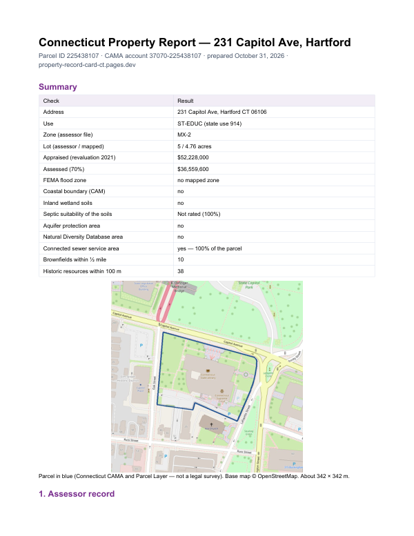
The report for 1 Sylvan Rd
This card shows what the assessor records. The report adds what lies around the parcel: FEMA flood zone, wetlands and watercourses, aquifer protection area, Natural Diversity Database areas, brownfields nearby and sewer service.
$19card · PDF within 24 h · you pay after receiving itSee the sample (PDF)
Order the report