58 Maple St, Naugatuck — property record card
Commercial built in 2019, 35,834 ft² in Naugatuck; last sold for $150,000 on March 29, 2017.
Parcel
| Location | 58 Maple St, Naugatuck CT 06770 |
|---|---|
| Parcel ID | 47-51-3 |
| CAMA account | 49950-074-9520 |
| Use | Commercial |
| Zone | B1 |
| Planning region | Naugatuck Valley |
Land
| Lot size | 3.00 acres (130,680 ft²) |
|---|
Building
| Year built | 2019 |
|---|---|
| Living area | 35,834 ft² |
| Condition | 7 |
Sales
| Last sale | $150,000 — March 29, 2017 |
|---|
Brownfield inventory
- Uniroyal Parcel C South, 58 Maple Street — program: BRRP
- Parcel C Building 25, 58 Maple Street — program: NONE
Within about 500 m (a third of a mile): 6 sites of the state brownfield inventory. Brownfields in Naugatuck.
What this means
- Naugatuck last revalued in 2026. Towns revalue every five years; between two revaluations the appraisal stays the same even if the market moves.
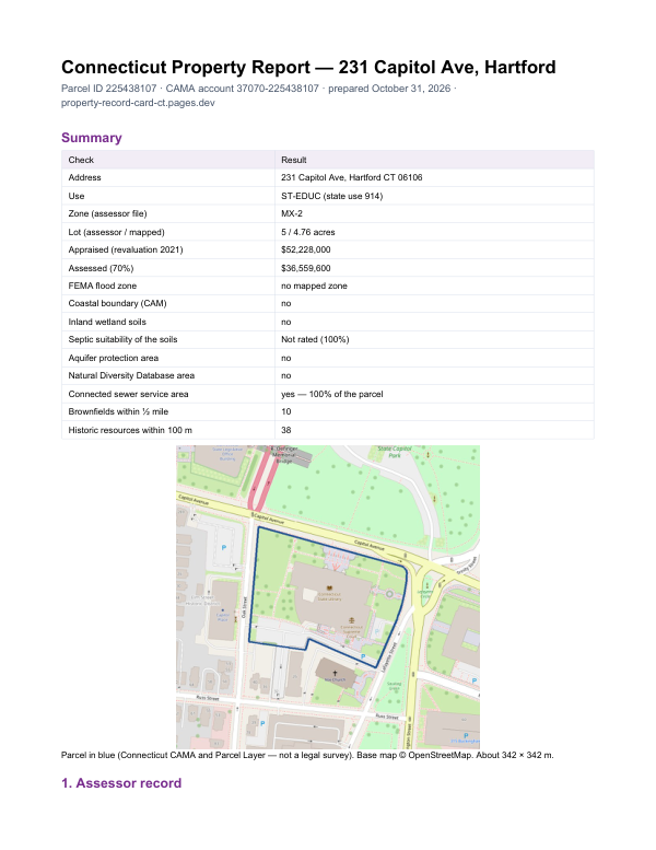
The report for 58 Maple St
This card shows what the assessor records. The report adds what lies around the parcel: FEMA flood zone, wetlands and watercourses, aquifer protection area, Natural Diversity Database areas, brownfields nearby and sewer service.
$19card · PDF within 24 h · you pay after receiving itSee the sample (PDF)