1700 Hillside Road, Fairfield — property record card
Single Fam Residential built in 1970, 5 bed, 3.5 bath, 4,769 ft² in Fairfield, appraised at $2,472,000 (assessed $1,747,340); last sold for $2,500,000 on June 30, 2025.
Rebuilt from the public Connecticut CAMA and Parcel Layer — not the official card. For the official card, with owner, photo and sketch, ask the Fairfield assessor’s office.
Parcel
| Location | 1700 Hillside Road, Fairfield CT 06824 |
|---|
| Parcel ID | 171012B0000 |
|---|
| CAMA account | 26620-14224 |
|---|
| Use | Single Fam Residential (state use code 1010) |
|---|
| Zone | AAA |
|---|
| Planning region | Greater Bridgeport |
|---|
Valuation — revaluation 2025
| Appraised (market value) | $2,472,000
land $1,241,500 · building $1,164,000 · outbuildings $66,500 |
|---|
| Assessed (70%) | $1,747,340
land $869,050 |
|---|
Land
| Lot size | 2.00 acres (87,120 ft²) |
|---|
Building
| Year built | 1970 (effective 1998) |
|---|
| Living area | 4,769 ft² |
|---|
| Rooms | 8 |
|---|
| Bedrooms | 5 |
|---|
| Bathrooms | 3 full, 1 half |
|---|
| Condition | 5.0 |
|---|
Sales
| Last sale | $2,500,000 — June 30, 2025 |
|---|
What this means
- Connecticut taxes property at 70% of its appraised market value: the assessment $1,747,340 times the town mill rate gives the yearly tax.
- Fairfield last revalued in 2025. Towns revalue every five years; between two revaluations the appraisal stays the same even if the market moves.
- Assessed 165% above the median for this use in Fairfield ($660,450, 15,887 parcels).
- The last sale price is 1% above the appraisal.
- Built before 1978: lead paint may be present; Connecticut law requires disclosure to a buyer or tenant.
Point at the centre of the parcel — not a survey.
Data: Connecticut CAMA and Parcel Layer (2026 collection, CC0), retrieved October 31, 2026. Sources and freshness. No owner names are published.
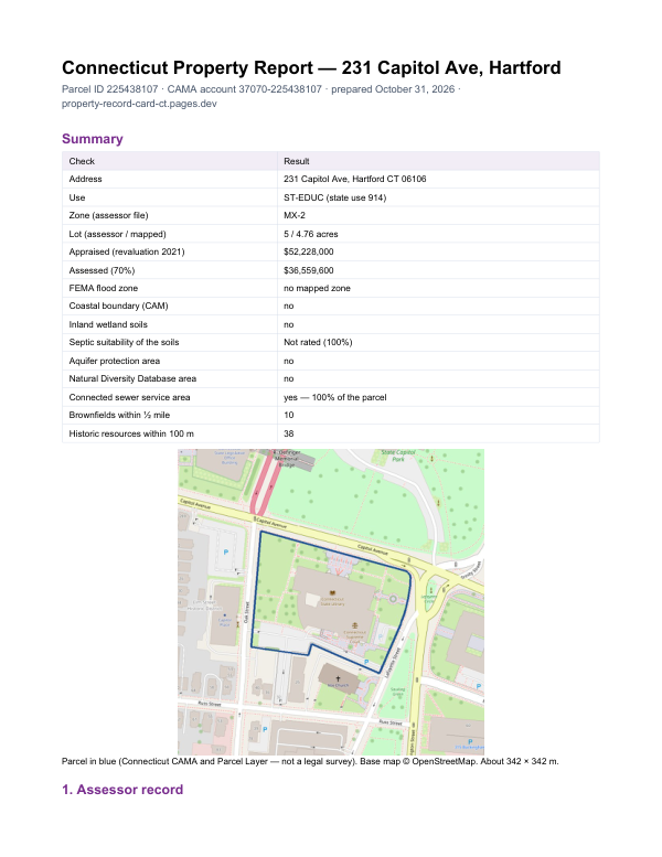
The report for 1700 Hillside Road
This card shows what the assessor records. The report adds what lies around the parcel: FEMA flood zone, wetlands and watercourses, aquifer protection area, Natural Diversity Database areas, brownfields nearby and sewer service.
$19card · PDF within 24 h · you pay after receiving itSee the sample (PDF)
Order the report